Serving SoCal from the Desert to the Coast

Aerial Photography & Video Gallery

A showcase of aerial photography and video from Pacific Drone — real estate, roof inspections, events, and construction across Southern California.
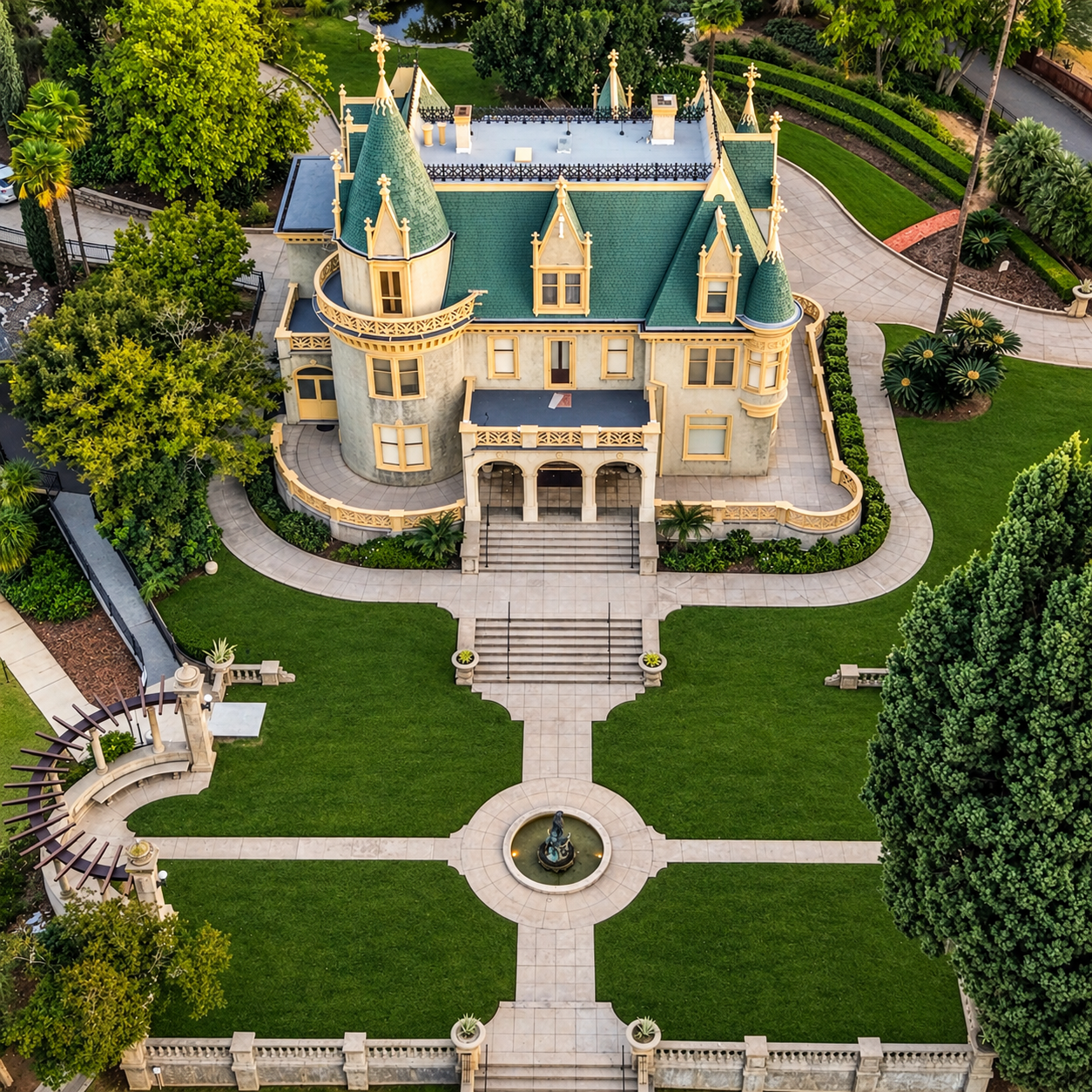
Aerial drone photography over a residential neighborhood
Real Estate
Aerial drone photography over a residential neighborhood© 2026 Pacific Drone
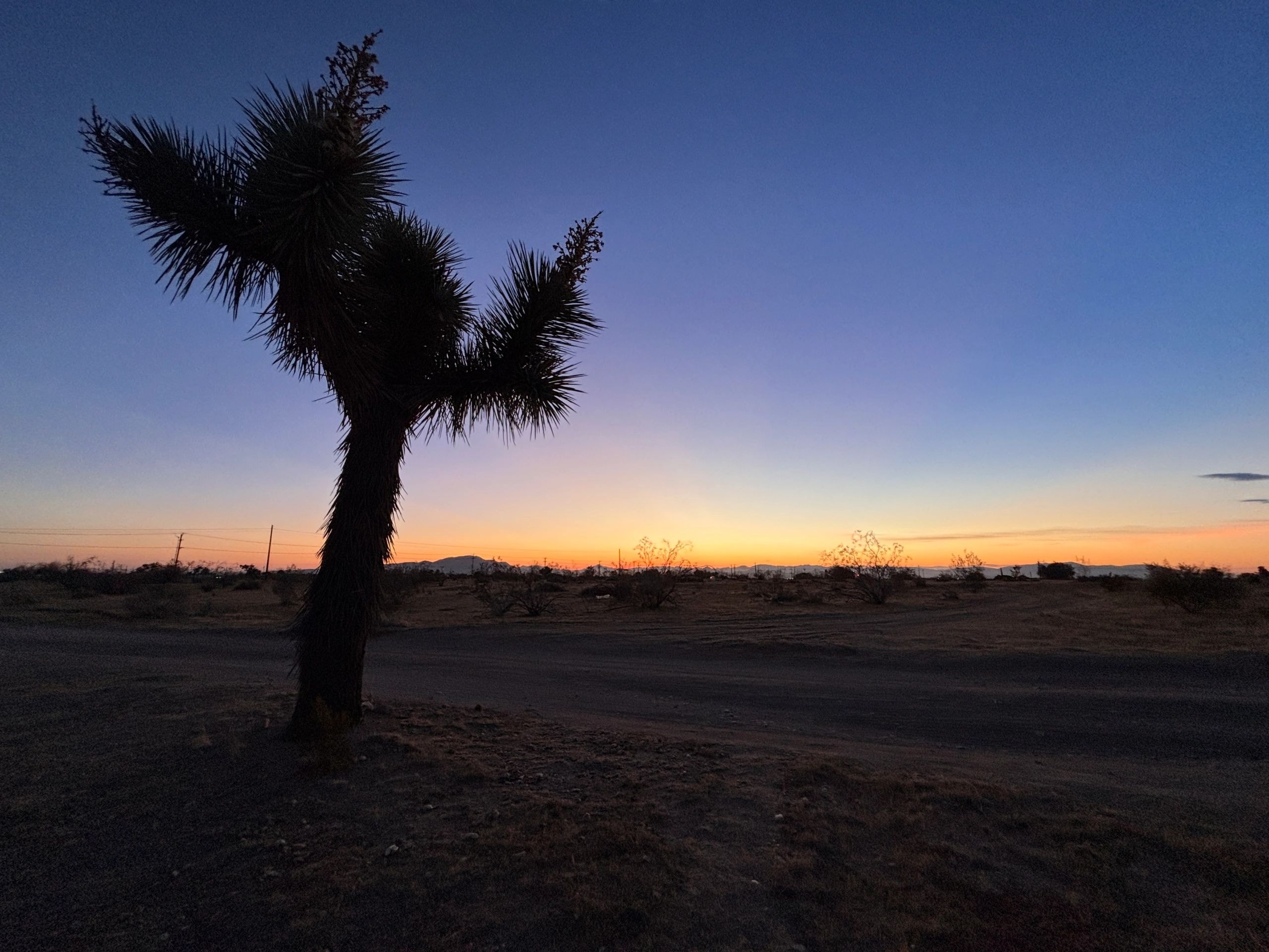
Aerial landscape photography — Southern California desert
Events
Aerial landscape photography — Southern California desert© 2026 Pacific Drone
Pacific Drone aerial photography and video services
Construction
Pacific Drone aerial photography and video services© 2026 Pacific Drone
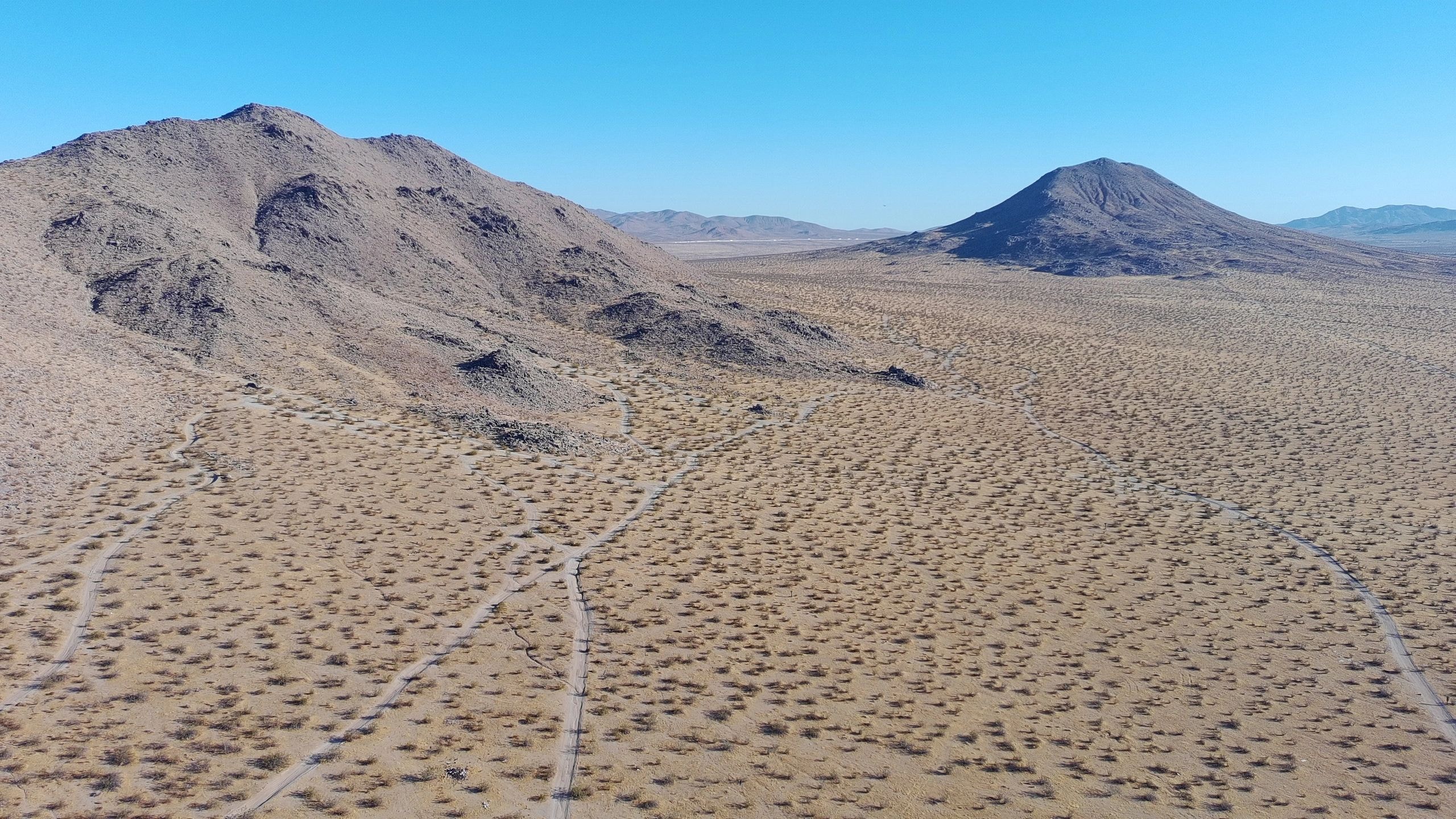
Aerial view of Southern California terrain
Roof Inspection
Aerial view of Southern California terrain© 2026 Pacific Drone
Aerial real estate photography — suburban home
Real Estate
Aerial real estate photography — suburban home© 2026 Pacific Drone
Aerial roof inspection — residential property
Roof Inspection
Aerial roof inspection — residential property© 2026 Pacific Drone
Aerial event photography — outdoor ceremony
Events
Aerial event photography — outdoor ceremony© 2026 Pacific Drone
Aerial construction site monitoring
Construction
Aerial construction site monitoring© 2026 Pacific Drone
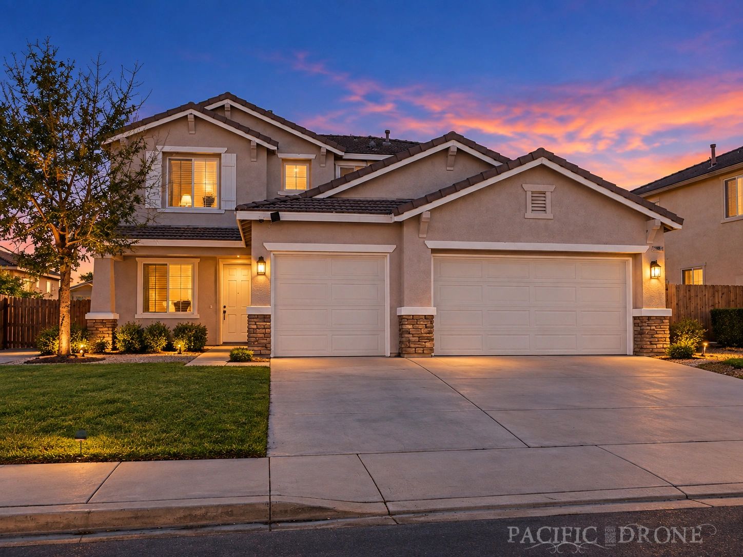
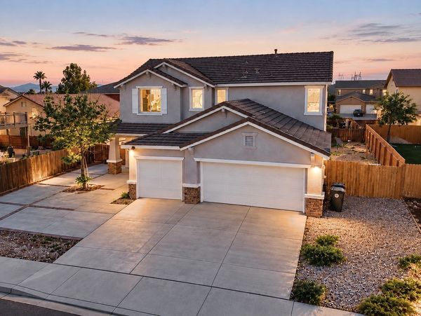
Twilight aerial photography — residential home at golden hour
Real Estate
Twilight aerial photography — residential home at golden hour© 2026 Pacific Drone
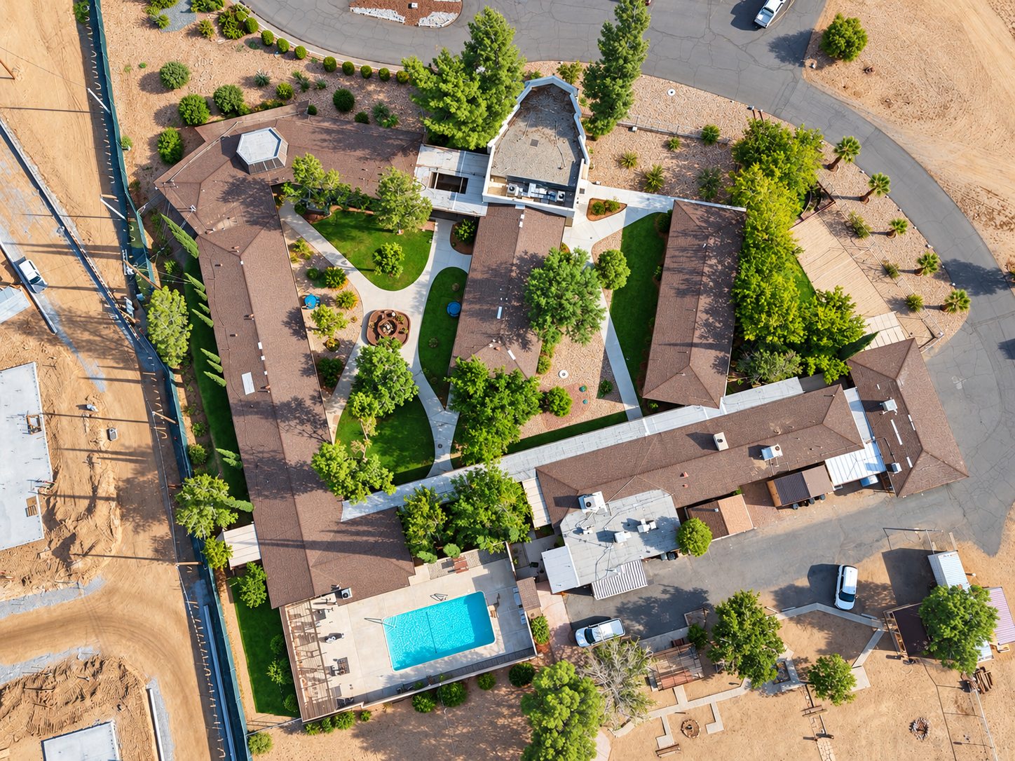
Commercial bed and breakfast aerial flyover
Real Estate
Commercial bed and breakfast aerial flyover© 2026 Pacific Drone
Remote desert cinematic aerial — Southern California
Events
Remote desert cinematic aerial — Southern California© 2026 Pacific Drone
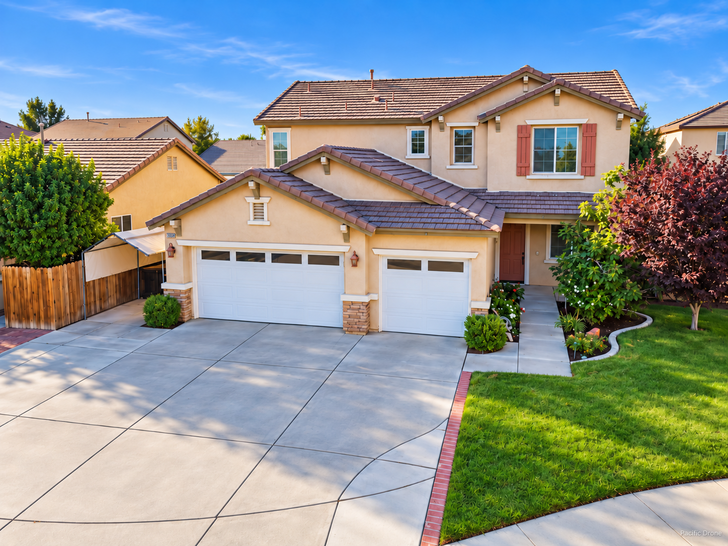
Residential real estate — MLS color corrected aerial
Real Estate
Residential real estate — MLS color corrected aerial© 2026 Pacific Drone
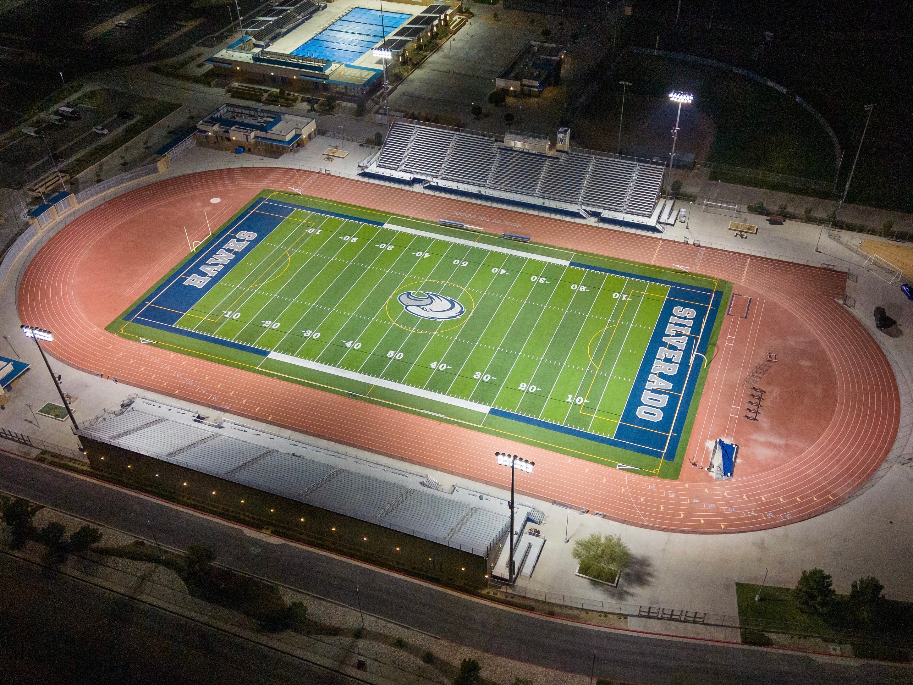
Friday Night Lights — sports stadium aerial after dark
Events
Friday Night Lights — sports stadium aerial after dark© 2026 Pacific Drone
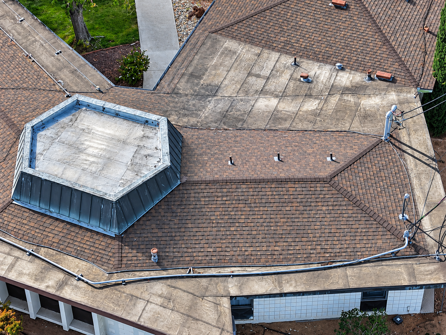
Commercial roof inspection aerial view
Roof Inspection
Commercial roof inspection aerial view© 2026 Pacific Drone
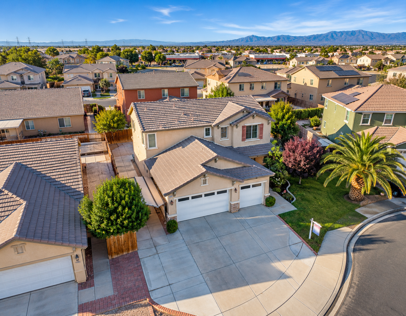
Residential real estate — Class D airspace aerial
Real Estate
Residential real estate — Class D airspace aerial© 2026 Pacific Drone
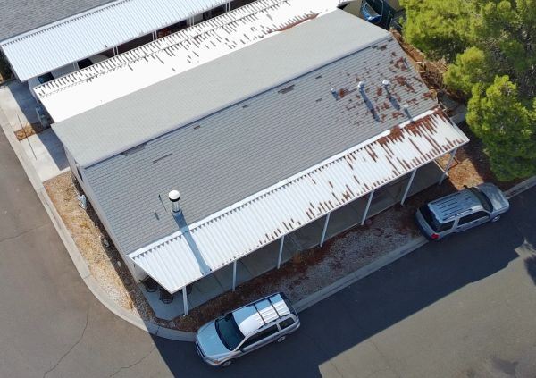
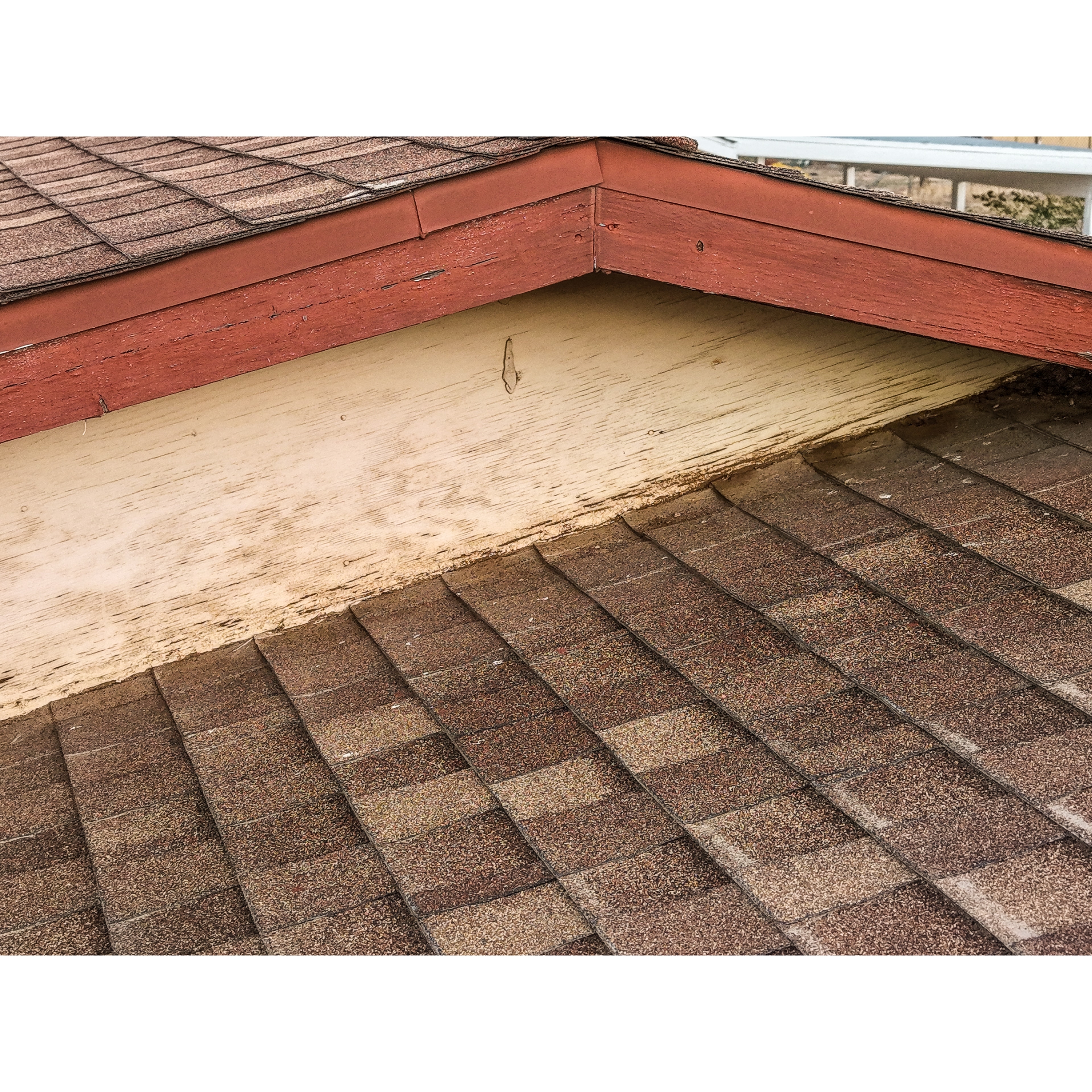
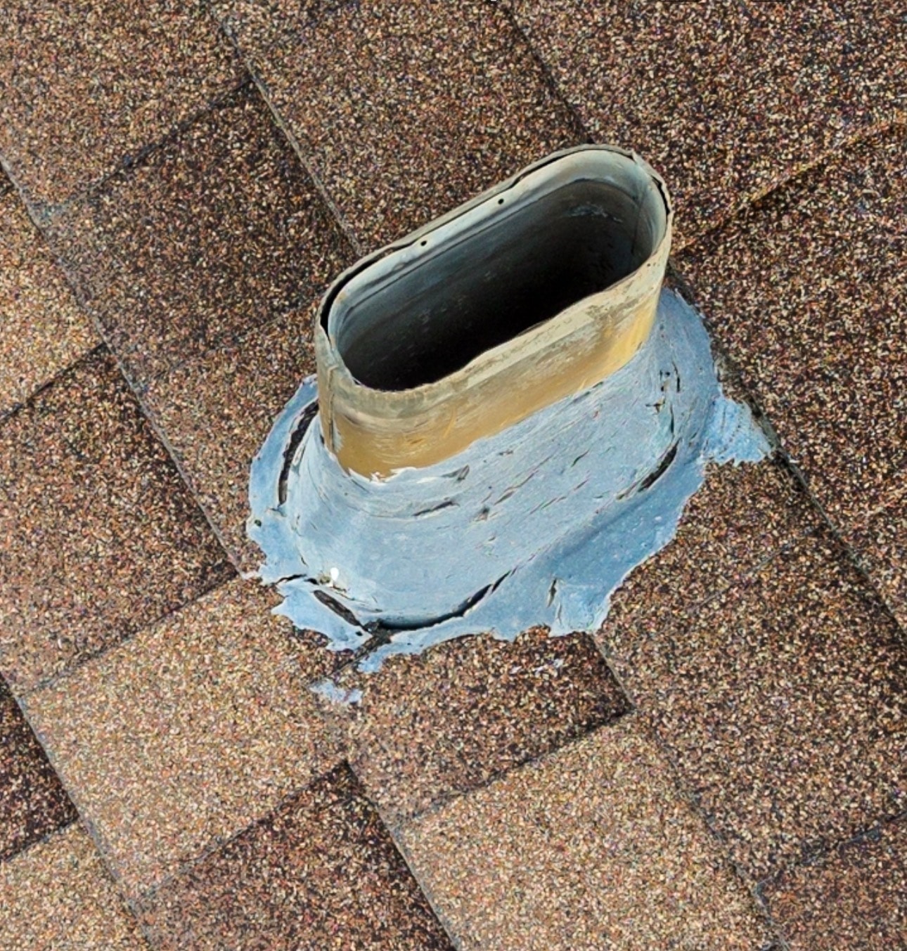
Residential roof damage found on inspection
Roof Inspection
Residential roof damage found on inspection© 2026 Pacific Drone
Residential roof damage found on inspection
Roof Inspection
Residential roof damage found on inspection© 2026 Pacific Drone
Aerial view of suburban neighborhood — Brea, California
Real Estate
Aerial view of suburban neighborhood — Brea, California© 2026 Pacific Drone
Aerial cul-de-sac — upscale residential community
Real Estate
Aerial cul-de-sac — upscale residential community© 2026 Pacific Drone
Aerial view of commercial property with solar panels
Real Estate
Aerial view of commercial property with solar panels© 2026 Pacific Drone
Hail damage inspection — shingle roof with assessment markings
Roof Inspection
Hail damage inspection — shingle roof with assessment markings© 2026 Pacific Drone
Commercial rooftop HVAC and gas line infrastructure inspection
Roof Inspection
Commercial rooftop HVAC and gas line infrastructure inspection© 2026 Pacific Drone
Aerial view of residential home with solar panel array
Roof Inspection
Aerial view of residential home with solar panel array© 2026 Pacific Drone
Aerial coverage of outdoor community festival
Events
Aerial coverage of outdoor community festival© 2026 Pacific Drone
Top-down aerial of rustic outdoor wedding ceremony
Events
Top-down aerial of rustic outdoor wedding ceremony© 2026 Pacific Drone
Aerial view of sports park — football game at sunset
Events
Aerial view of sports park — football game at sunset© 2026 Pacific Drone
Aerial construction site progress monitoring
Construction
Aerial construction site progress monitoring© 2026 Pacific Drone
Drone view of workers on active construction site
Construction
Drone view of workers on active construction site© 2026 Pacific Drone
Aerial view of highway bridge construction and infrastructure
Construction
Aerial view of highway bridge construction and infrastructure© 2026 Pacific Drone

360° Photography & Interactive Virtual Tours

Explore properties from every perspective with Pacific Drone's professional 360° photography and Matterport-powered interactive virtual tours.

Our immersive visual experiences help real estate professionals, property managers, investors, and commercial clients showcase properties in an engaging and interactive format.

Services Include

  • Interactive Matterport Virtual Walkthroughs
  • High-Resolution 360° Panoramic Photographs
  • Residential Property Tours
  • Commercial Property Tours
  • Vacant Land Panoramic Photography
Request a Virtual Tour

Interactive 360° Virtual Tour — Portfolio Coming Soon

A live Pacific Drone Matterport virtual tour will be embedded here once available. Check back soon.

When a Matterport tour is ready, paste the embed code here to replace this placeholder.

Ready to Book Your Drone Flight?

Let's capture your property, event, or project from above. Get a custom quote or book directly.

Share our gallery