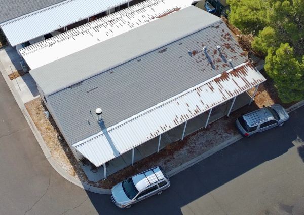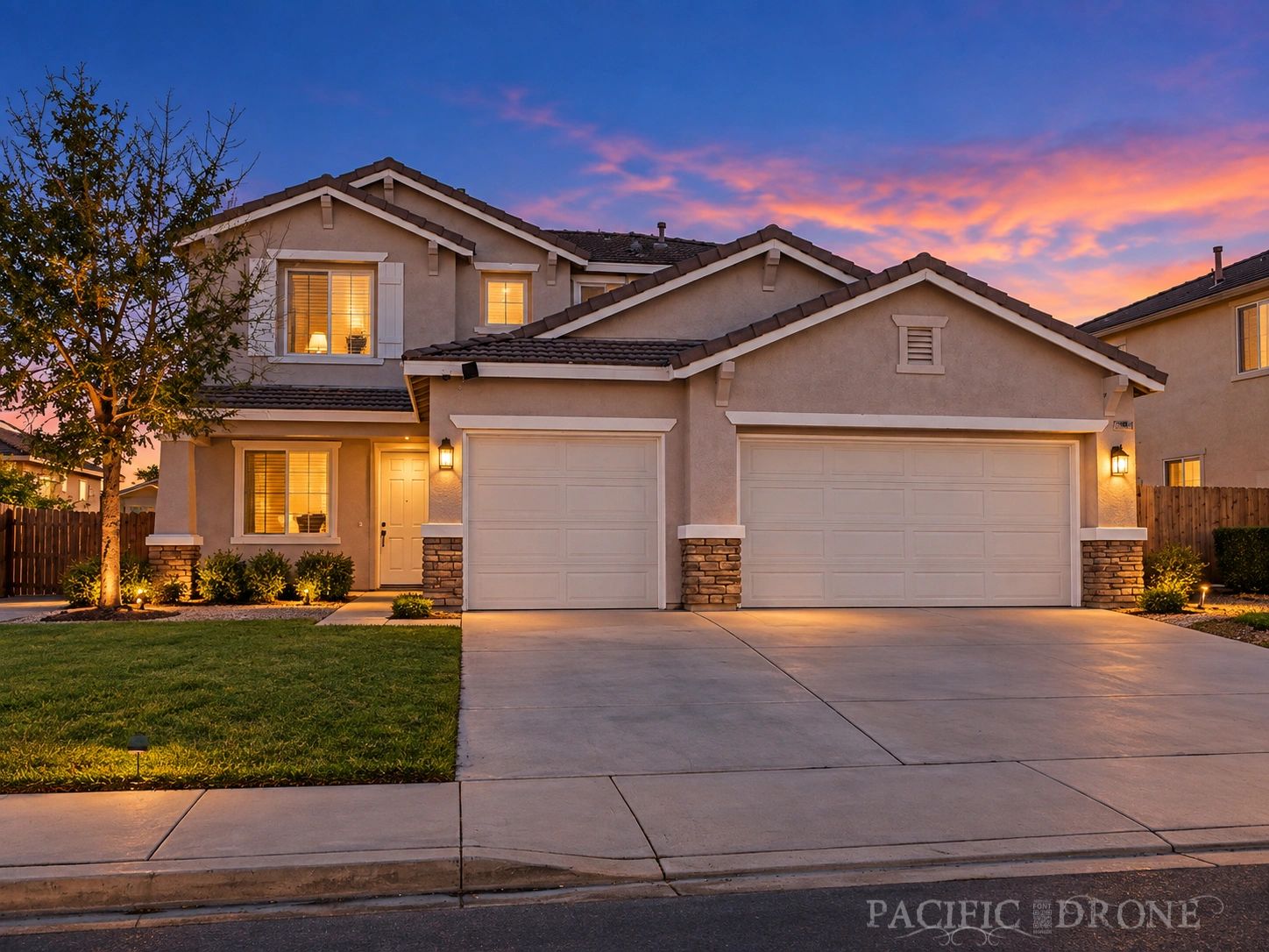
How Aerial Photography Helped a Hesperia Listing Stand Out — and Sell
A Hesperia homeowner needed their property to stand out in a busy spring market. Here's how Pacific Drone's aerial photography package made the difference.
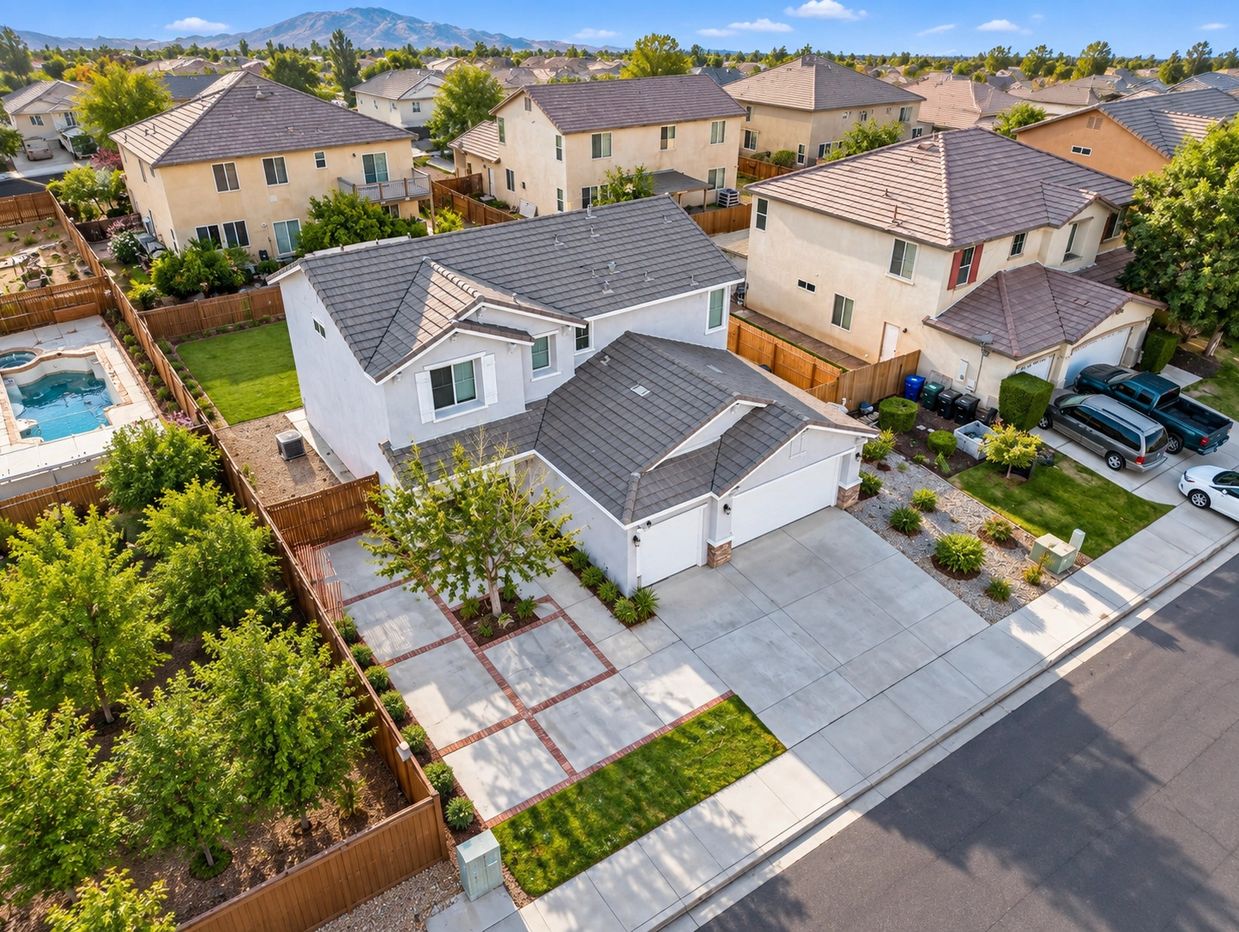
When a Hesperia homeowner listed their property last spring, they were competing against dozens of similar homes in the same price range. Their agent recommended adding professional aerial photography to the listing — and the results exceeded everyone's expectations.
The Property
The home sat on a large corner lot with a detached garage, RV access, and a spacious backyard — features that are genuinely valuable but nearly impossible to convey with standard ground-level photos. From the street, the lot looked like any other. From the air, the full picture was immediately clear.
The Shoot
Pacific Drone arrived early morning to take advantage of the soft desert light. We captured a full aerial overview of the property, detailed shots of the lot layout, and a series of elevated angles that showed the home's relationship to the surrounding neighborhood and mountain backdrop.
The shoot took less than 90 minutes from setup to pack-up. Edited images were delivered the following day.
The Result
The listing went live with the aerial photos as the lead images. Within the first week, the property received significantly more online views than comparable listings in the area. The home received multiple offers and sold above asking price.
"The aerial photos completely changed how buyers saw the property. You couldn't tell from the street how much space there was — but from the air, it was obvious. We had buyers calling specifically because of those photos." — Listing Agent
Ready to Elevate Your Listing?
Whether you're selling a single-family home, a multi-unit property, or a large parcel, Pacific Drone's real estate aerial photography packages are designed to show your property at its best.
Explore Topics
Written by
Pacific Drone
Content creator and writer sharing insights and stories.